Strategy
We support Nations in setting direction and acting on it, from land and marine use planning and climate adaptation to policy, referrals, economic development, and project management.
Services
Our work spans four interwoven program areas. Within them, we offer specific services that can be combined to fit what your community needs.
We support Nations in setting direction and acting on it, from land and marine use planning and climate adaptation to policy, referrals, economic development, and project management.
We help communities look after their information across its full life cycle, with systems, governance, and long-term safeguarding grounded in Indigenous data sovereignty.
We pair technical analysis with visual storytelling, from whole territories and watersheds down to individual sites, producing atlases, cultural maps, custom map products, and GIS-based asset management systems.
We turn knowledge into clear, accessible material that reflects community values, including atlas narratives, funding proposals, reports, and planning documents. We follow each community’s own data governance protocols, as well as recognized principles such as OCAP®.
Live demo
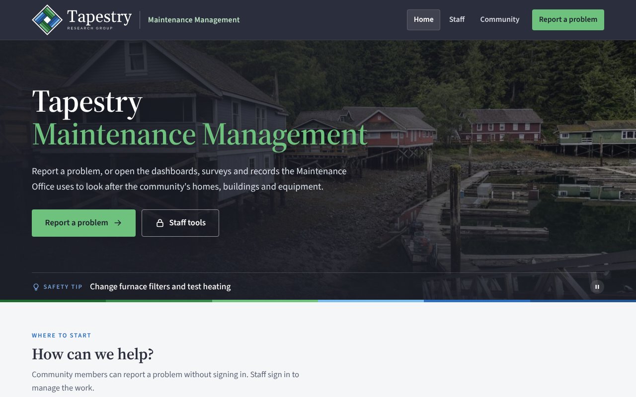
Explore a working Maintenance Management portal, the kind we build with communities. Report a problem, then see how staff pick it up in the dashboards and surveys.
Sample data only. Opens in a new tab.
How we can help
Pick one, or combine several. Most projects use a few of these together.
Help shaping and writing funding proposals, from the first idea to a submission-ready application.
Content, Writing, and DesignMaps designed to your brief, for the band office wall, reports, presentations, and funding applications.
Geospatial Analysis and MappingMobile data collection apps feeding live, web-based dashboards, so field work is visible as soon as it is done.
Qualitative and quantitative methods, from gathering community input to statistical analysis.
StrategyWebsites, interactive maps, and print-ready publications.
Content, Writing, and DesignSpatial analysis and mapping across all components of the Esri ArcGIS suite.
Geospatial Analysis and MappingCombining field-collected, LiDAR, and public datasets into one trusted source.
Information ManagementPoint cloud processing and 3D modelling of landscapes and infrastructure.
Geospatial Analysis and MappingWorkflows that keep your data clean, current, and repeatable, with less staff time.
Information ManagementTell us what you are working on. We will listen first and suggest where we can help.